Get Started
-
VIDEO TUTORIAL
GeoCare Navigator Introductory Video
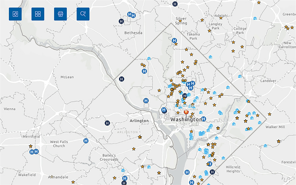
Provides a step-by-step explanation on how to use the tool and create a map. -
USER GUIDE
GeoCare Navigator User Guide
Gives a complete overview of the tool, including how to create maps for specific application types.
Additional Tutorials
-
Training
Recorded Training 1
Includes a thorough tutorial of GeoCare Navigator's functionality and a Q&A session. -
Training
Recorded Training 2
Includes a thorough tutorial of GeoCare Navigator's functionality similar to Training 1, and a Q&A session with guidance for New Access Point applications.
Downloadable Files
| File Name | File Type | ||||||||||
|---|---|---|---|---|---|---|---|---|---|---|---|
| 2024 ZIP Code to ZCTA Crosswalk (Current) |
XLSX
(Approx. 1.5 MB)
|
2023 ZIP Code to ZCTA Crosswalk |
XLSX
(Approx. 1.5 MB)
|
2022 ZIP Code to ZCTA Crosswalk |
XLSX
(Approx. 1.5 MB)
|
2021 ZIP Code to ZCTA Crosswalk |
XLSX
(Approx. 1.5 MB)
|
2020 ZIP Code to ZCTA Crosswalk |
XLSX
(Approx. 1.5 MB)
|
2024 UDS HCP and Population All ZCTAs |
XLSX
(Approx. 37.11 MB)
|
Related Topics and Tools
-
Service Area Data
Unmet Need Score Map Tool (UNS)
Visit this map tool to evaluate service area needs and determine if an area needs a new health care service site. -
Health Center Data
Uniform Data System (UDS) Data
View the UDS pages for data on health center patient characteristics, services, and other measures.
Contact Us for Additional Support
Under "Health Center Data & Research", select "Health Center Program GeoCare Navigator (Formerly UDS Mapper)".
BPHC Contact Form

